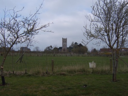
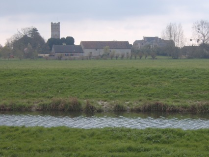
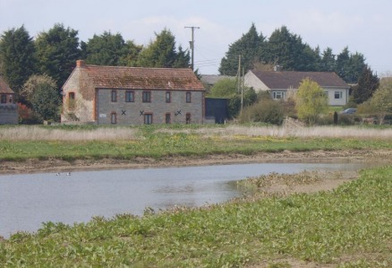
Mulcheney church from the campsite at Abbey Farm...
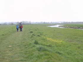
Here the Parrett was higher than the surrounding land, held in by tall banks which made for very easy walking.
Northstreet Moor and the railway viaduct, the other side of Langport.
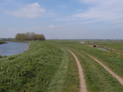
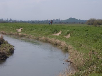
This picture clearly shows the height of the river relative to the height of the Sowy River Flood Relief channel next to it.
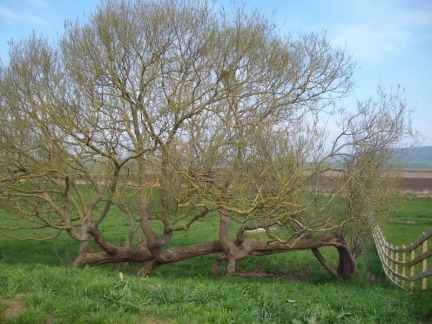
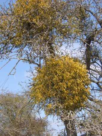
The mistletoe on the approach to Burrow Mump was amazing.
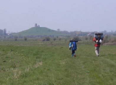
Although Burrow Mump is only 24m high the views are fantastic due to the flat nature of the land around!
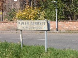
Isn't it time someone cleaned this sign (on the bridge at the foot of Burrow Mump)?!
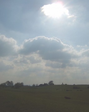
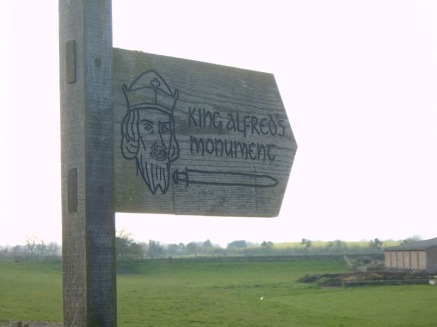
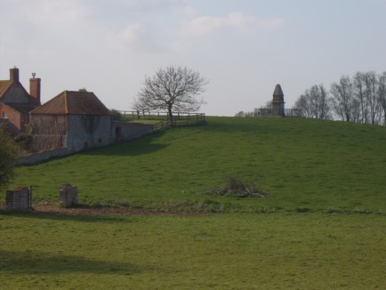
Sun and clouds over King Alfred's Monument...
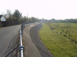
Flood defences on the way to East Lyng.
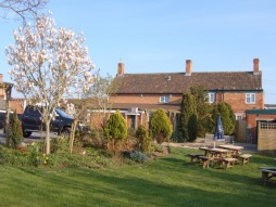
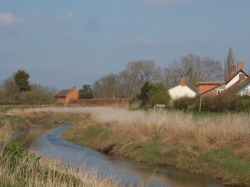
The Rose and Crown pub, East Lyng.
and across the fields from the other side of the Parrett.
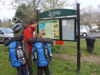
Welcome to Langport!
Past Monk's Leaze Clyse.
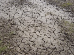
Fortunately most of the mud had dried up!
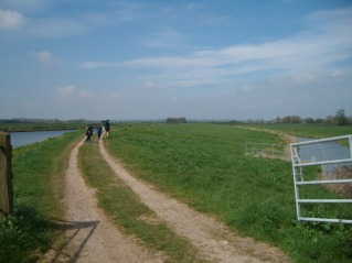
The walk from Langport to Burrowbridge was surprisingly varied and most enjoyable. And little by little Burrow Mump increased in size...
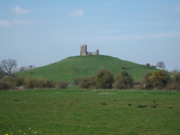
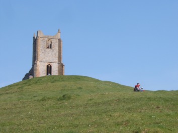
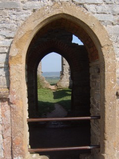
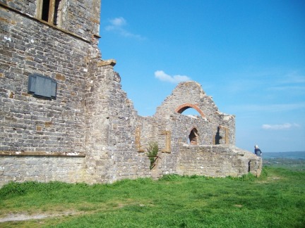
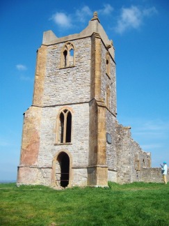
The ruined church of St. Michael on the top of Burrow Mump.
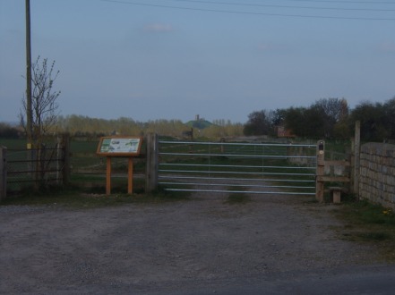
The River Tone, on the way to King Alfred's Monument.
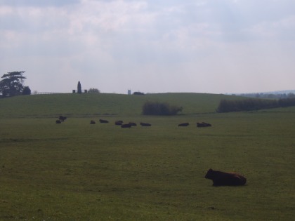
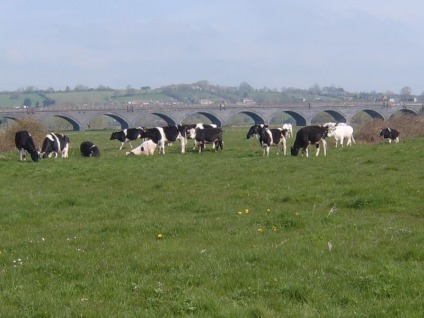
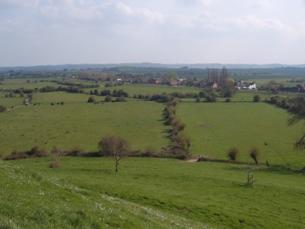
...and peaceful cattle in front of it. The church tower in the distance is at East Lyng.
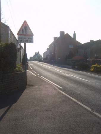
Main road through East Lyng, with the Rose and Crown Pub at the top of the hill.