Chedington to Norton-sub-Hamdon
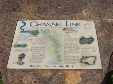
This is the plaque outside the Winyard's Gap Inn at Chedington showing the River Parrett Trail - 50 miles to the Bristol Channel - and the Brit Valley Way - 11 miles to the English Channel.
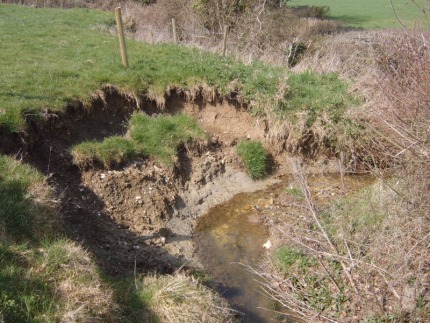
Very quickly the rivulets joined together and became a small stream, bubbling along between the fields and eroding the banks as it meandered round tree roots and bushes.
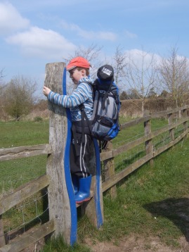
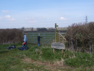
A wavy stile...
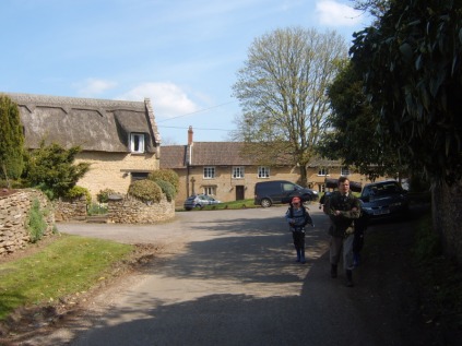
The path between the houses at South Perrott.
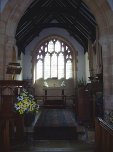
Easter Garden, South Perrott Church.
This sign at the gate after Pipplepen Farm read:
North Perrott.
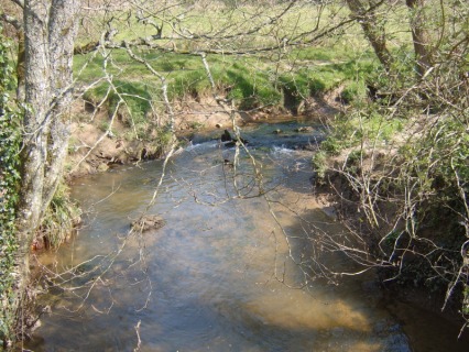
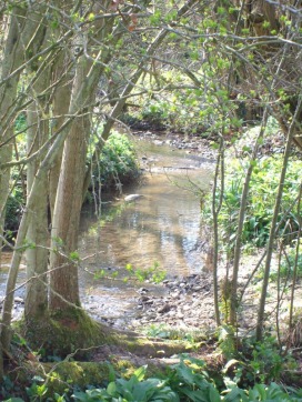
The river has grown considerably since we last saw it!
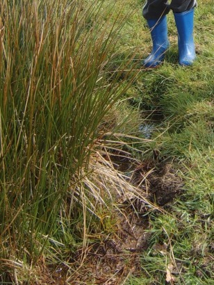
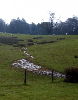
The River Parrett has its beginning in numerous springs and boggy patches in the fields alongside Chedington. We chose this one as our "official" source!
... and a wavy gate.
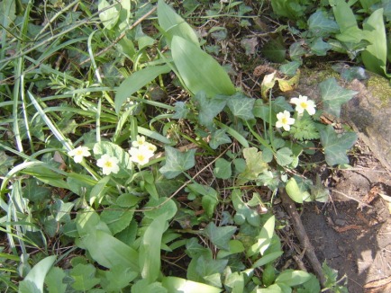
Primroses - there were lots of them! - along the banks.
The River Parrett, now looking as if it means business!
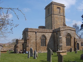
St. Mary's Church, South Perrott.
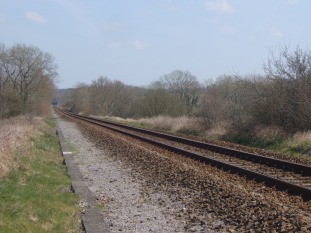
"WARNING RAILWAY CROSSING AHEAD"
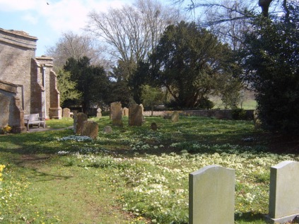
Primroses in the churchyard at North Perrott.
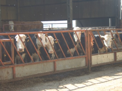
Some inquisitive cattle...
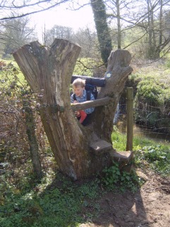
...and a rather nice stile made out of a forked tree stump.
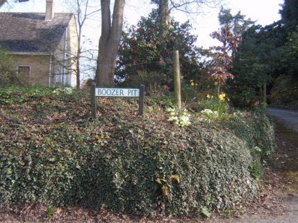
Presumably everyone takes pictures of this sign, on the outskirts of Merriott.